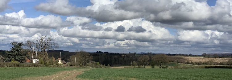
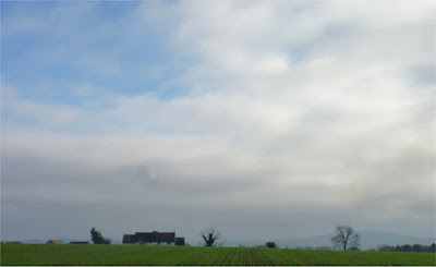
This is part of the
Offa's Dyke path, which leads up to
Hergest Ridge, in our neighbouring sister county, Herefordshire. This is an old drover's path and it becomes beautifully broad and inviting as you proceed up and along it.
It's a nice gentle climb to the top, just right for out of condition types like ourselves and even better - a bench handily situated halfway up.
Where one can study the map and try to work out where the heck we are in relation to everything.
We like to know where we are in a landscape Just beyond the hills, a dim blue hump on the horizon, we spot Caer Caradoc, whose more taxing slopes
we went up the other week. Now we can place ourselves. There's Shropshire, just a few miles away -
- and there's two humped Caer Caradoc, the furthest hill we can see, keeping a watchful eye on us, in case we stray too far.
If you recognise the name 'Hergest Ridge', then you may be thinking of the
Mike Oldfield album of the same title. It was written round about here, and somewhere in our packed up things I have the original vinyl, picked up second hand when I was about seventeen, so visiting the actual place was a landmark journey for me.
We made our way to the flattened top, where the winds whistle and sheep graze quietly with ponies. Then we strolled back down hill, finding shelter behind a big gorse bush where we could eat in peace - the local cheeses we bought in Ludlow a few hours earlier -
Wrekin White, Monkland and Ludlovian Cheddar. With ripe Victoria plums and water. Apart from the ciabatta (although also locally baked) it was about a traditional a picnic as we could wish for.
We ate overlooking the heart of England - which may look like a flat bit of land here, but there across are the Malvern Hills and beyond them unseen, the Cotswolds, our old stamping grounds. Back then, we would see them and imagine Herefordshire and Shropshire behind them, wondering if one day we'd be living on the other side. Border country.


